
Aerial Solutions.
Definitive Results.
Our Services
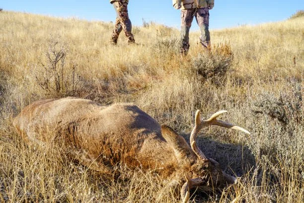
We locate your lost hunt so that you can have peace of mind.

We locate your lost pet so that you can bring them home.
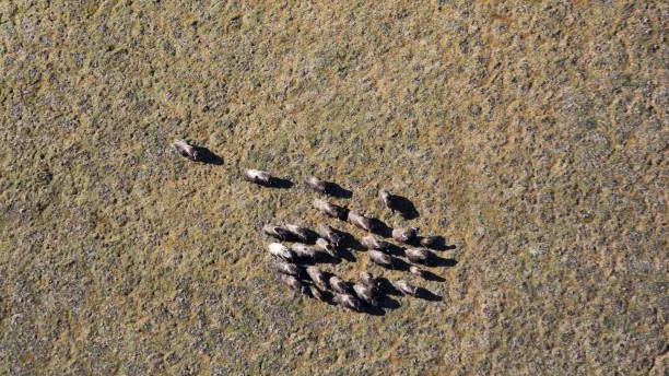
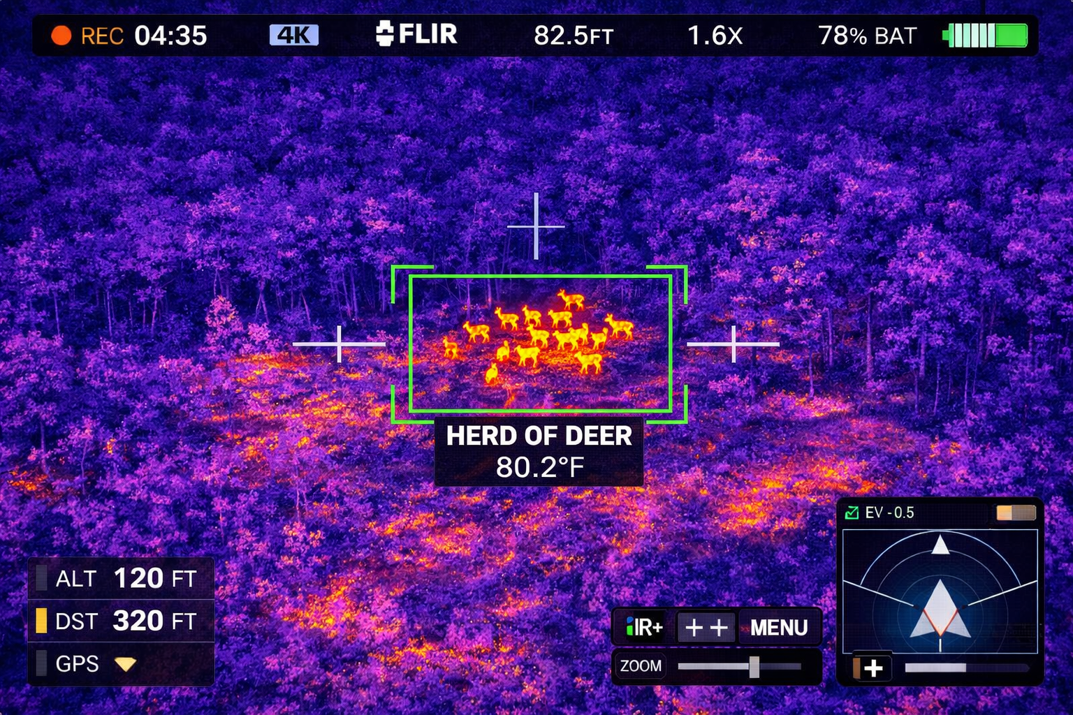
We locate wildlife gatherings so that you know where to hunt.
About
our company
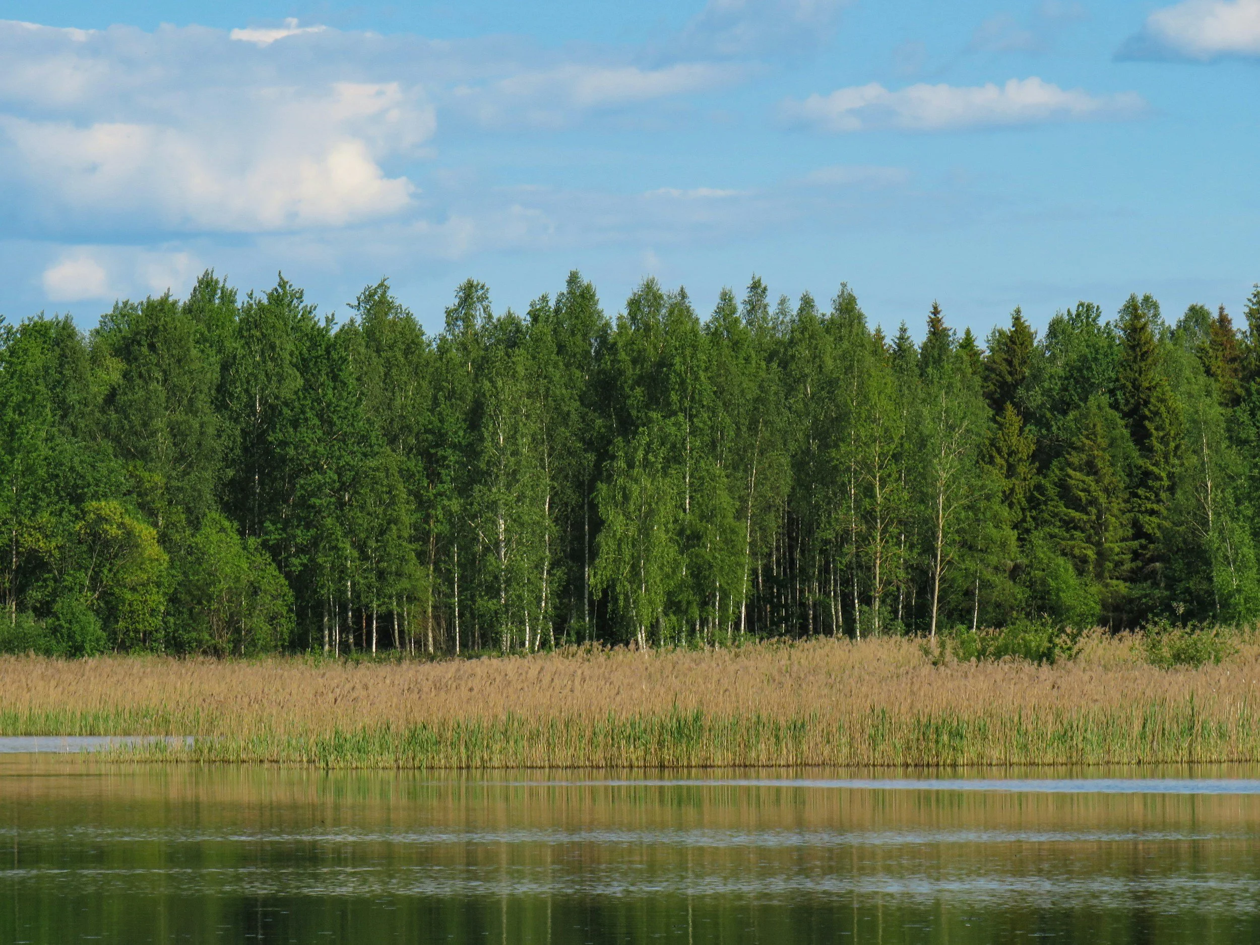
Pinpoint Thermal is a specialized thermal drone recovery service based in Baton Rouge, Louisiana. We leverage advanced thermal imaging technology to provide aerial solutions for hunters, pet owners, and land managers throughout Louisiana and the surrounding region. Whether you're tracking wounded game, searching for a missing pet, or conducting wildlife surveys, our FAA Part 107 certified remote pilots deliver definitive results when time matters most. We're not just drone operators—we're Louisiana hunters and animal lovers who understand the terrain, the wildlife, and the importance of what we're searching for. With rapid response times and professional-grade equipment, we bring peace of mind through technology that sees what others can't.
Contact Us
Interested in working together? Fill out some info and we will be in touch shortly. You can also reach us by email at info@pinpointthermal.com.